SharedStreets Blog
OpenStreetMap and Curb Regulations
A proposed approach
By Emily Eros in Pilot Perspective · June 25, 2019
At SharedStreets, we believe that open data benefits everyone and it ought to be possible for agencies, mapping enthusiasts, and civic tech groups to map curb regulations, take advantage of common tools, and use information for advocacy or other purposes. We’re also keen to support OpenStreetMap, which is a foundation for SharedStreets’ core tools. So when we set out to develop an open data standard, CurbLR, we also hoped that it could be compatible with OSM. Read More...
Towards A Data Standard For Curb Regulations
By Emily Eros in Pilot Perspective · June 5, 2019
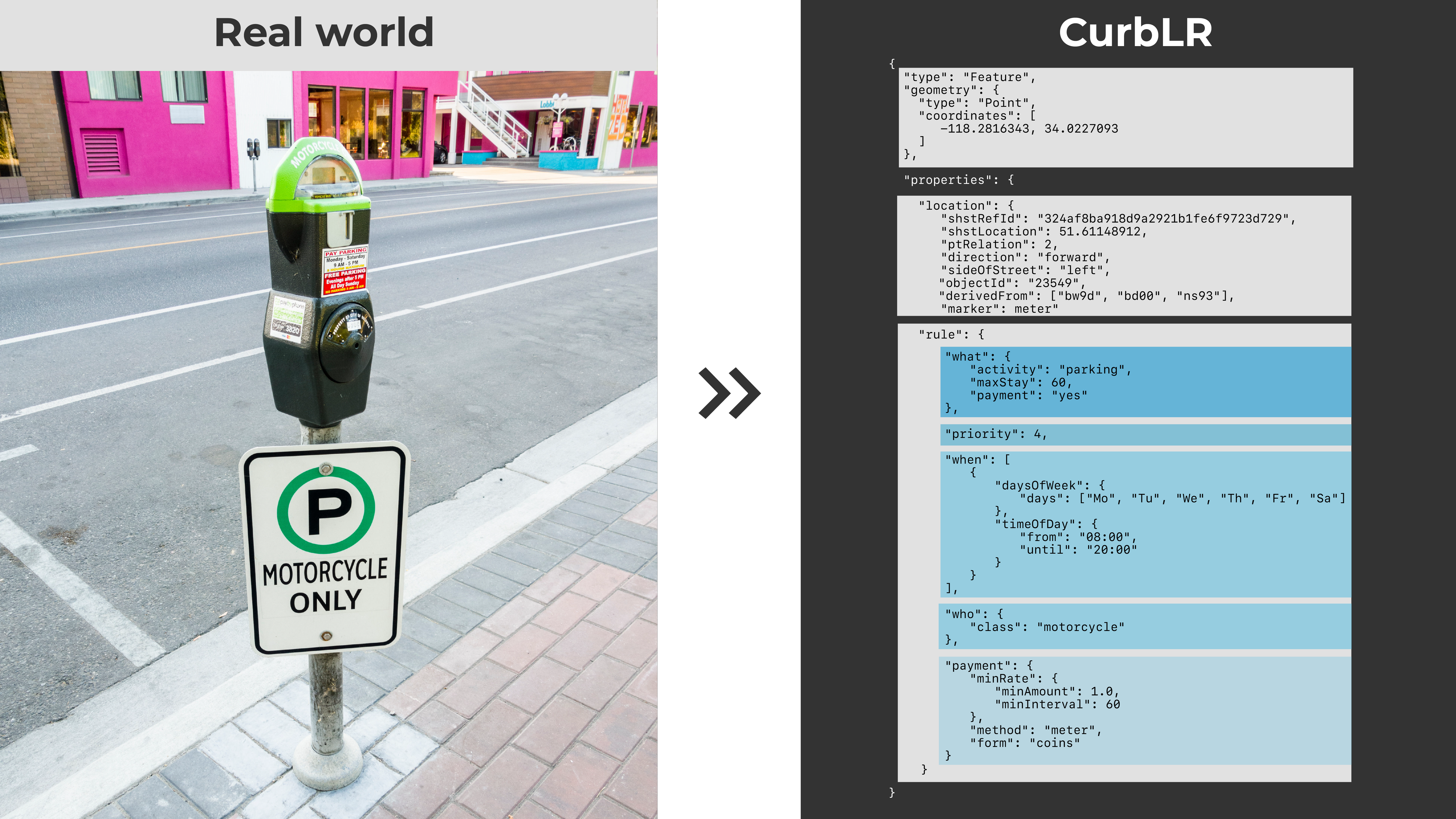
SharedStreets is developing CurbLR, an open standard for curb regulation data. We’re sharing this first draft as an invitation for collaboration with cities and private sector innovators interested in curb data. Read More...
Introducing SharedStreets Road Closures
By Indraneel Purohit in Pilot Perspective · June 3, 2019
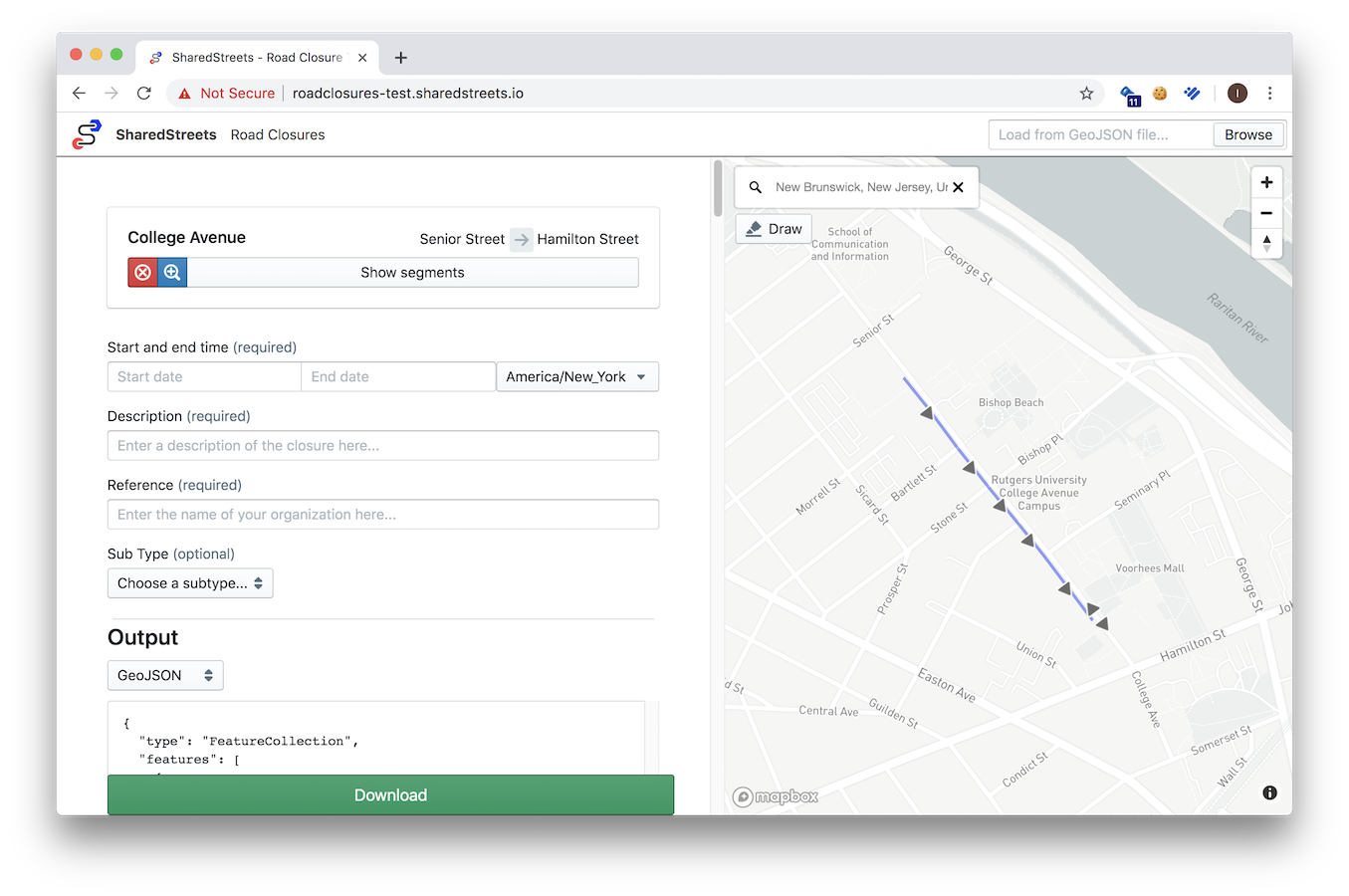
Cities open and close parts of their road network on a daily basis to keep their cities moving. Today, it is difficult to easily produce and consume closure data across city governments, consumer facing mapping apps and service providers. Which is why we built [SharedStreets Road Closures — an open source web app built for cities to produce data on road closures easily and consistently. Read More...
The SharedStreets trip-simulator
By Morgan Herlocker in Data Deep Dive · May 23, 2019
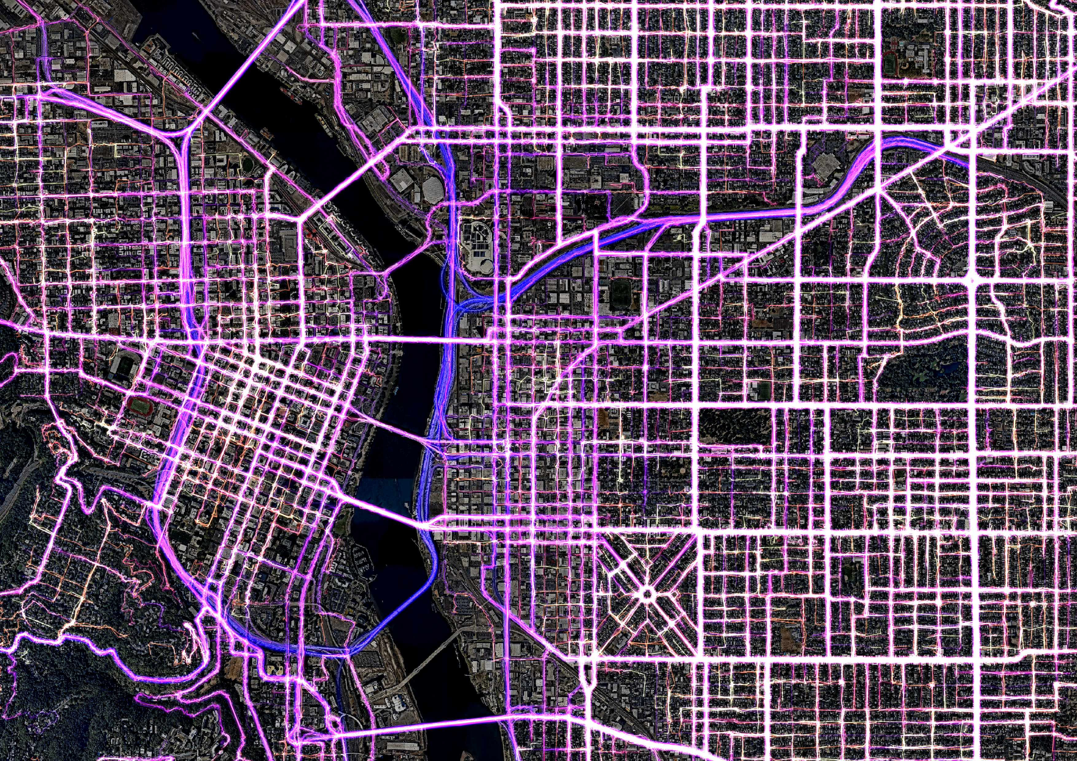
Developing software to understand and manage transportation networks, like the SharedStreets Mobility Metrics tool, requires access to individual trip data for aggregation. However, individual trip data is not always available, and sharing personal trip data for development purposes creates privacy risks, making it difficult to collaborate on open software across cities. SharedStreets is pleased to announce the release of trip-simulator, a tool that creates realistic synthetic location telemetry. Read More...
Getting Started with the SharedStreets Referencing System
Matching a city's GIS data
By Emily Eros in How-to · May 16, 2019
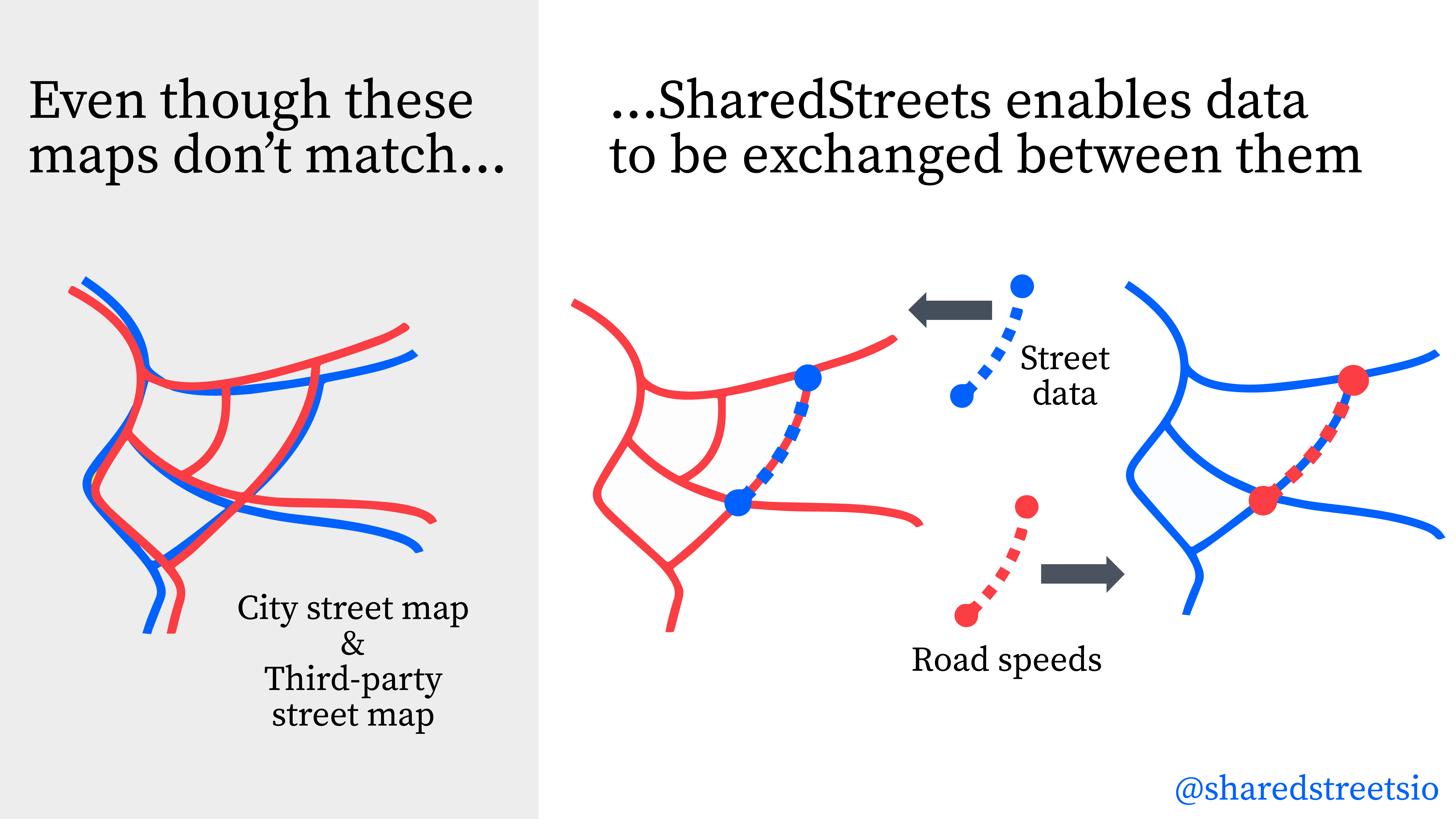
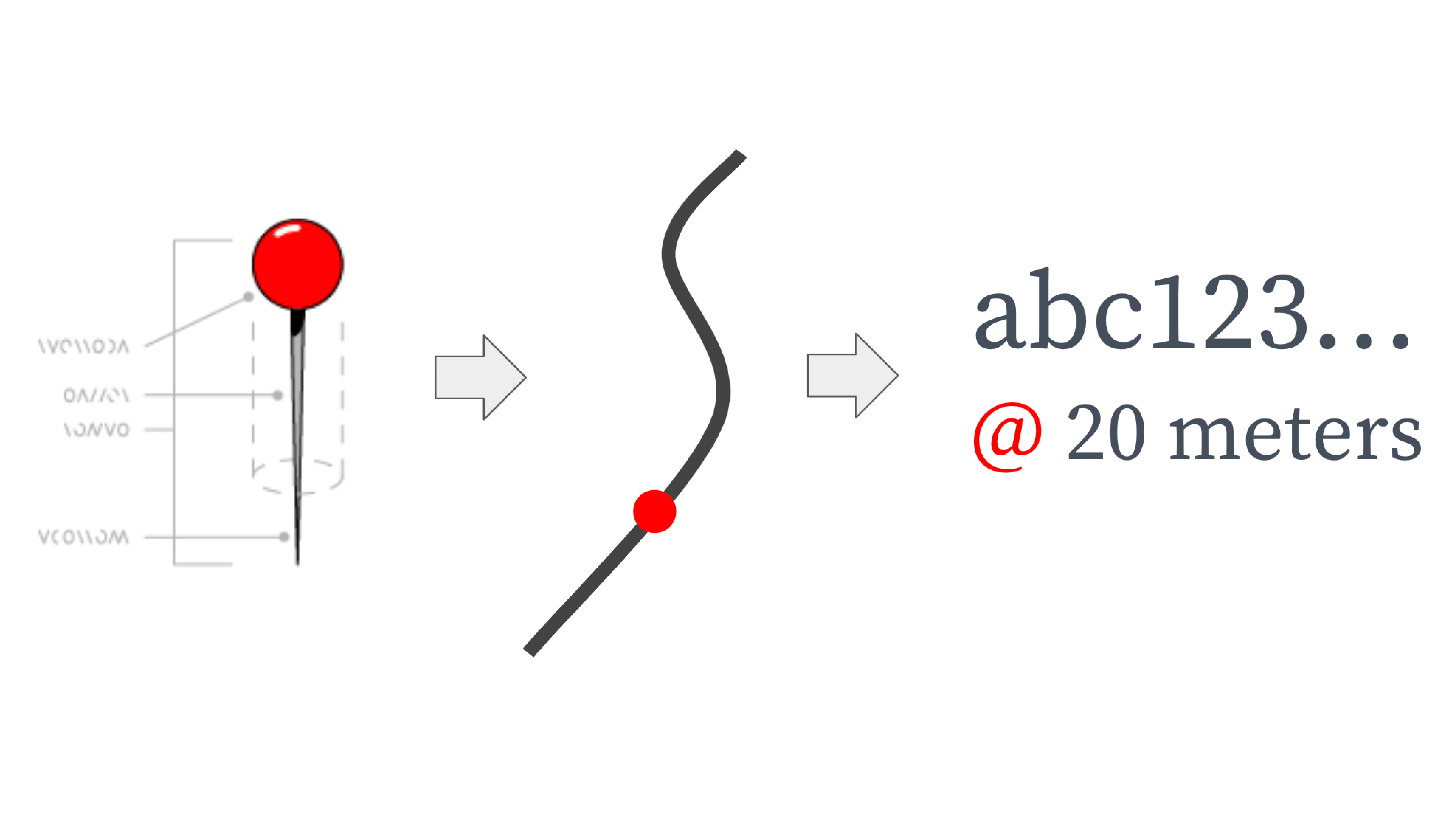
The SharedStreets referencing system creates a shared language for the street so there is a common way to refer to street segments, even when the underlying maps don’t match. This allows cities to easily create a link between GIS datasets so that they can port information across different maps. Map-matching can be done through an API or a command line interface (CLI). Read More...
Interoperable Speed Data Using SharedStreets
By Mollie Pelon McArdle in Pilot Perspective · May 13, 2019
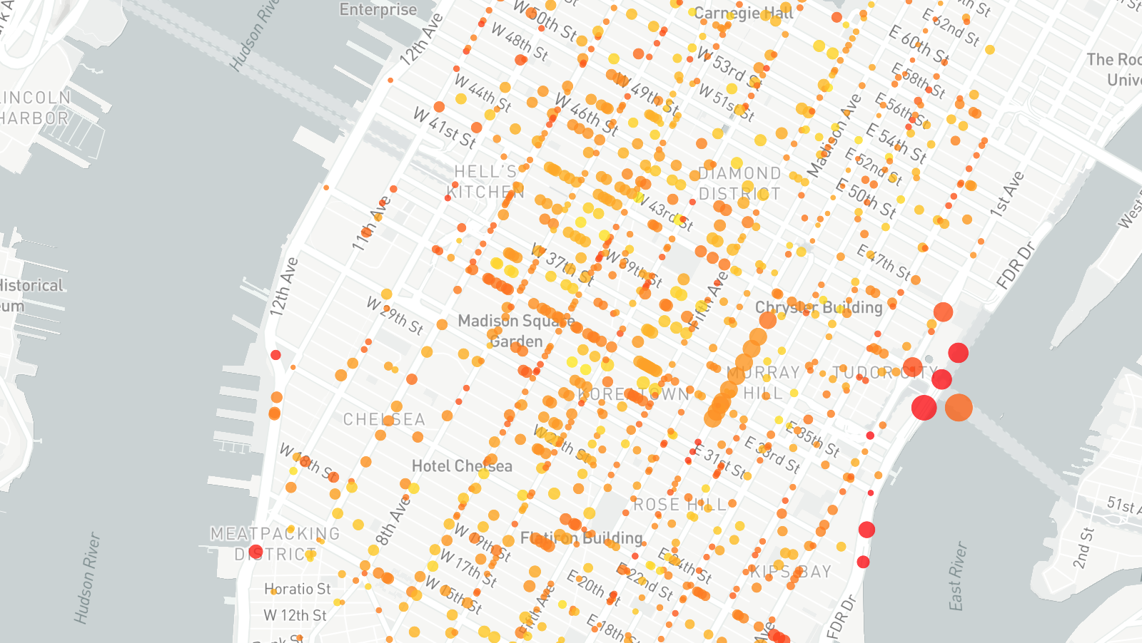
Data on vehicle speeds are critical for designing safer streets – but it’s only one tool in a city’s digital arsenal. With Uber’s release of their new speed datasets linked to the SharedStreets referencing system, these important new datasets can be translated and linked with existing city data and tools, to create a fuller picture of what's happening on city streets. Read More...
Mobility Metrics Example
How to join street data to scooter trip volumes
By Emily Eros in How-to · May 8, 2019
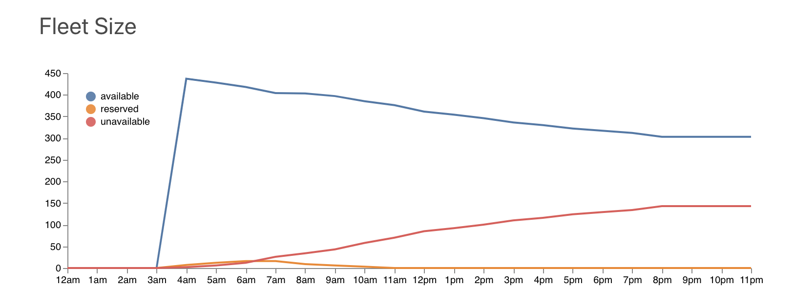
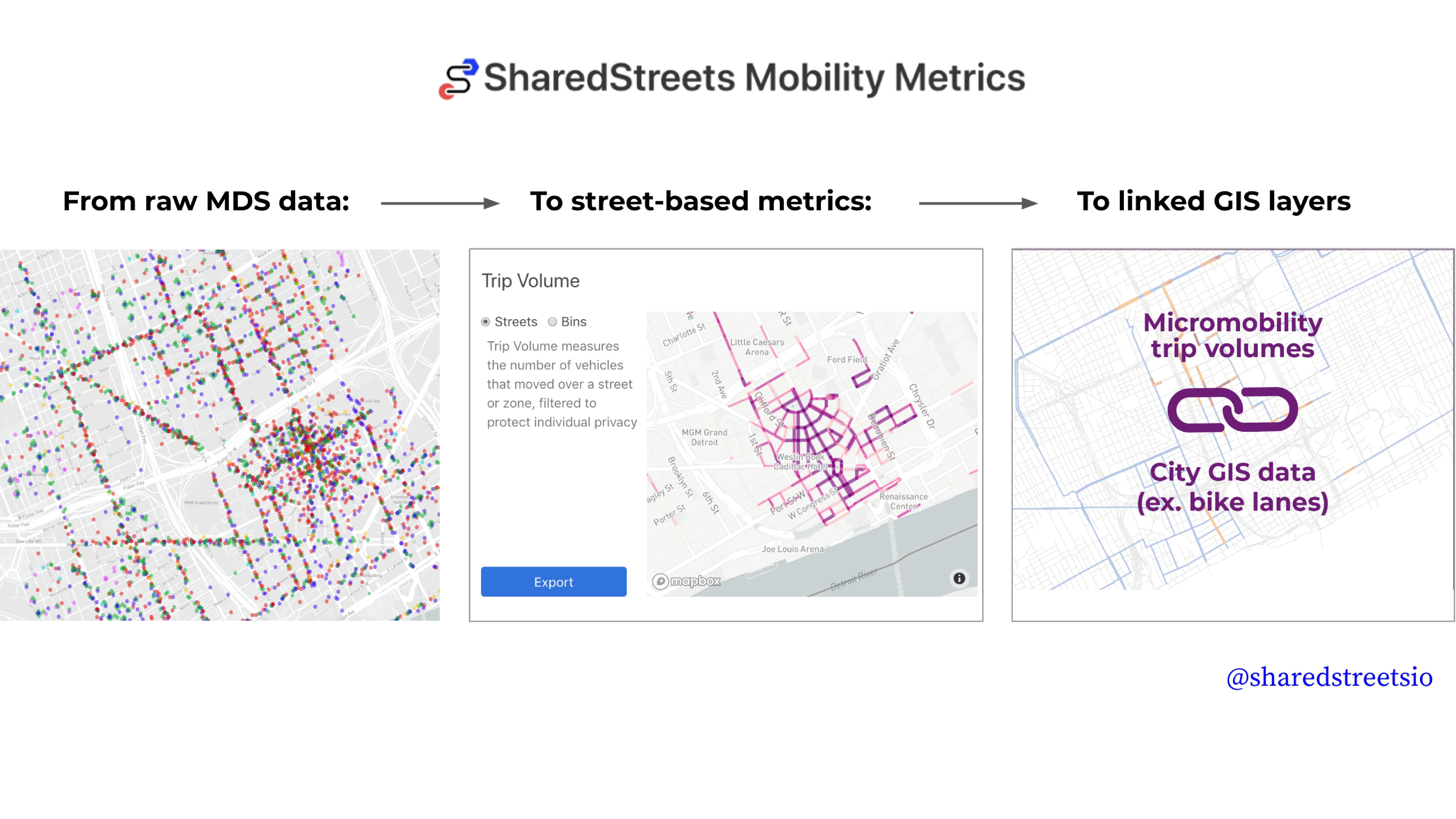
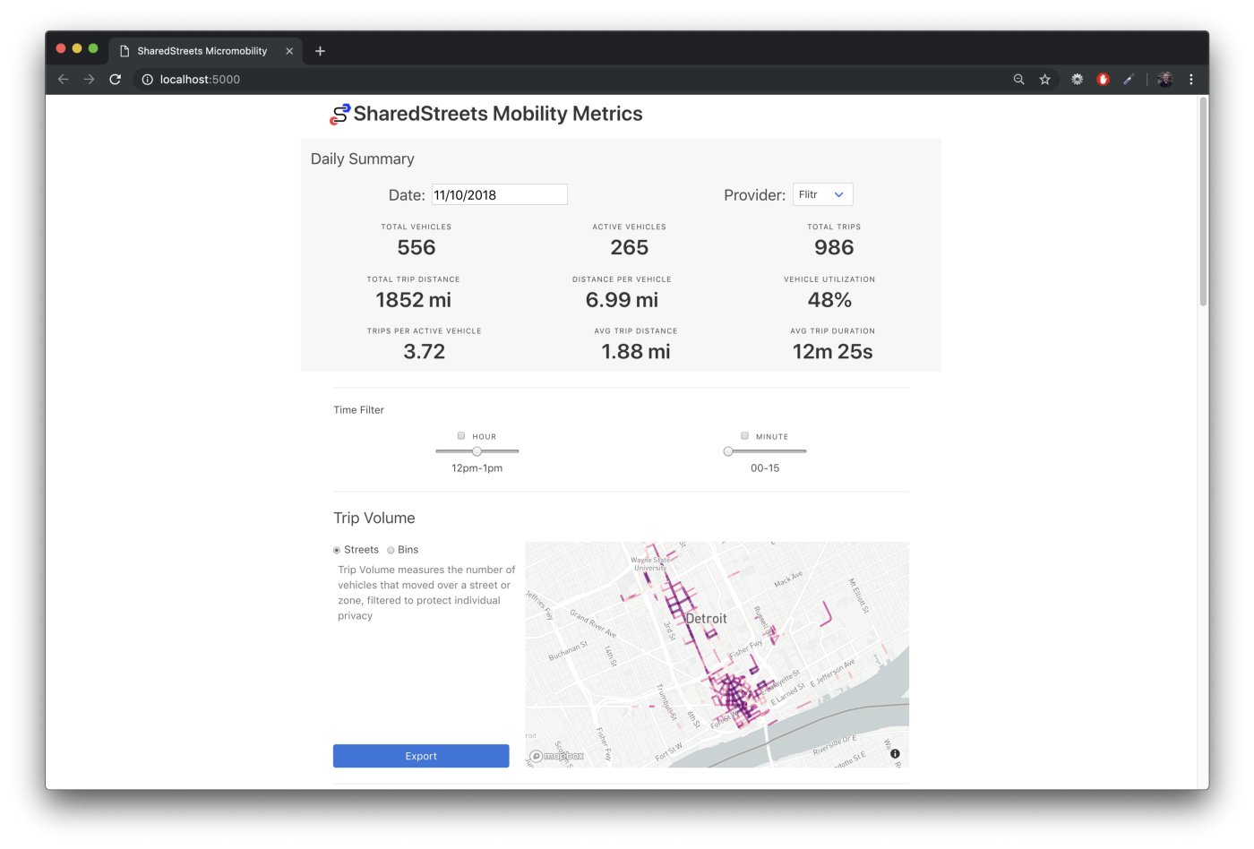
The SharedStreets Mobility Metrics tool aggregates spatial data about micromobility to both the streets where activity occurs and into zones. The tool makes it simple for cities to convert data about scooters and bikes in MDS into useable metrics and bring that information back into a city’s GIS or database system, where endless customization and analysis can easily take place. Read More...
Mobility Metrics Example
How to calculate availability by neighborhood
By Emily Eros in How-to · May 7, 2019
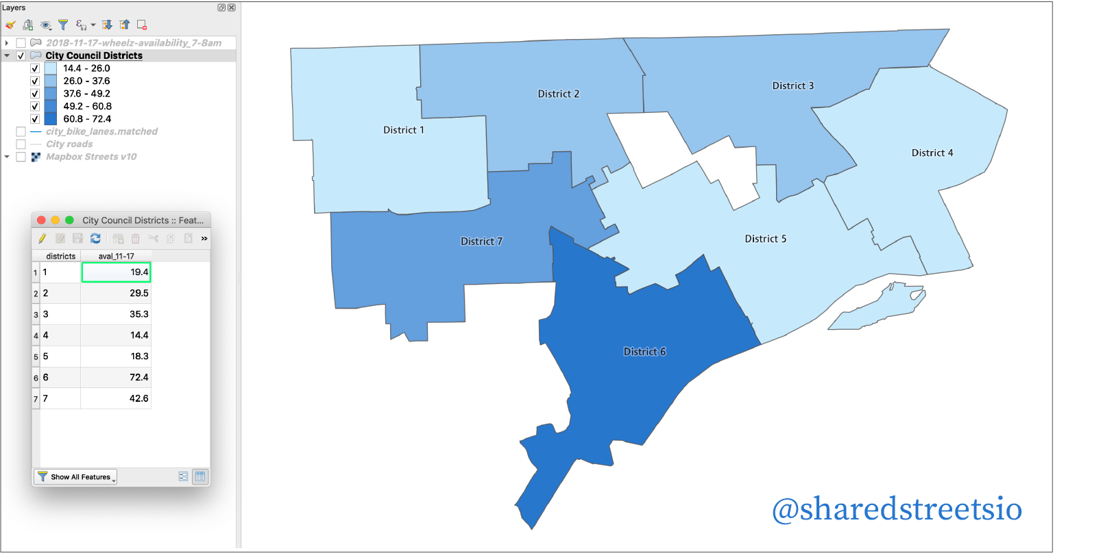
The SharedStreets Mobility Metrics tool aggregates spatial data about micromobility to both the streets where activity occurs and into zones (these are hexagons called “h3 bins”). The tool makes it simple for cities to convert data about scooters and bikes in MDS into useable metrics and bring that information back into a city’s GIS or database system, where endless customization and analysis can easily take place. Read More...
Introducing SharedStreets Mobility Metrics!
By Mollie Pelon McArdle in Pilot Perspective · May 6, 2019
Cities need mobility data to manage their streets. The influx of scooters and dockless bikes in American cities has resulted in large amounts of data flowing from companies to cities. This data has cities asking new kinds of questions and we need transparent tools to empower that inquiry. Read More...
Why Do We Need a Shared Referencing System?
By Emily Eros in Data Deep Dive · May 1, 2019
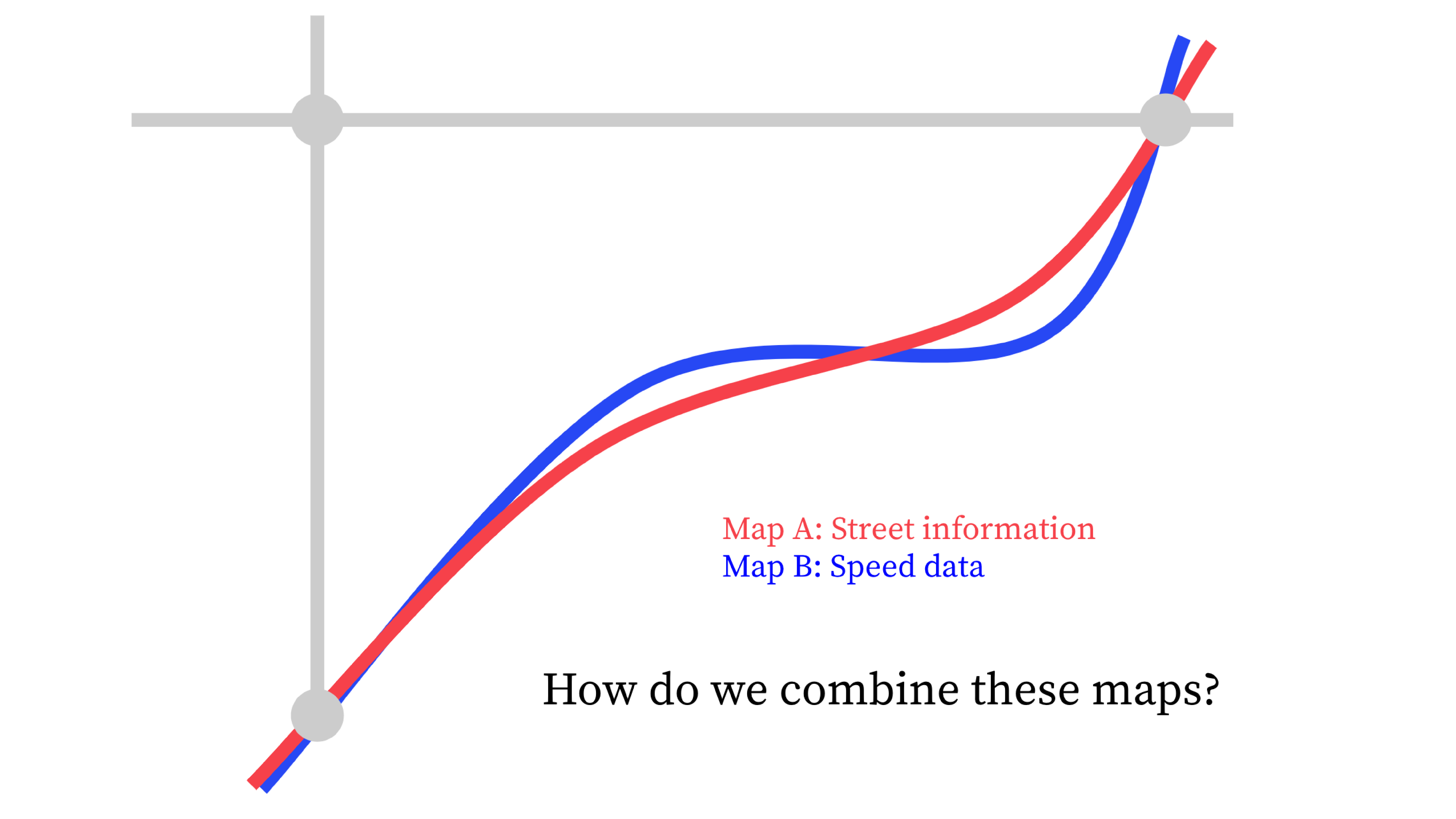
Most cities today collect and manage extensive datasets for their street networks using geographic information systems (GIS). Likewise, more and more private companies are generating street data as they oversee rideshare operations and micromobility fleets. Despite the abundance of data, considerable barriers limit what’s possible for internal data management and external collaboration. Read More...
How the SharedStreets Referencing System Works
By Emily Eros in Data Deep Dive · May 1, 2019
haredStreets lets maps talk to one another by relying on a fundamentally different way of conceptualizing the street. Typically, transport-related data is defined by spatial coordinates (like latitude and longitude) that describe the location of features. We also use attributes (like street names) that describe their properties. But transport systems are only quasi-geographic; Read More...
Using Location Data for Guiding Micromobility Outcomes
By Morgan Herlocker in Data Deep Dive · March 26, 2019
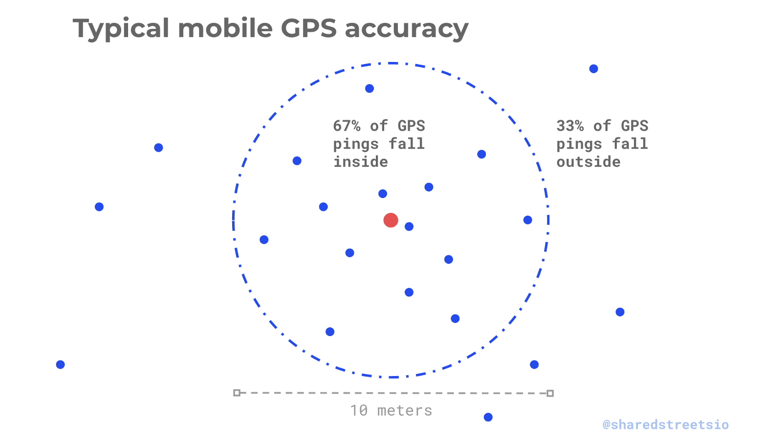
Location data — information about where things are in the world, such as phones or scooters — is ubiquitous today, and can help monitor how micromobility services interact with street infrastructure. This post will explore the capabilities of this data, as well as the hardware limitations. Read More...
Why We’re Building SharedStreets
Tools for the ‘bottom-up’ digital city
By Mollie Pelon McArdle and Kevin Webb in SharedStreets Insider · March 5, 2019
It is no secret that the way we move around cities has dramatically changed in the last decade. It is also no secret that the majority of new mobility modes that have dropped on our doorsteps have not met infrastructure that is ready for their arrival — physical or digital. Just as our built infrastructure is still making space for bike share systems, scooters, and new models for goods delivery, our digital infrastructure has some serious catching up to do. Read More...
