The SharedStreets trip-simulator
By Morgan Herlocker in Data Deep Dive · May 23, 2019
Developing software to understand and manage transportation networks, like the SharedStreets Mobility Metrics tool, requires access to individual trip data for aggregation. However, individual trip data is not always available, and sharing personal trip data for development purposes creates privacy risks, making it difficult to collaborate on open software across cities.
SharedStreets is pleased to announce the release of trip-simulator, a tool that creates realistic synthetic location telemetry. Trip-simulator outputs data to common open formats cities already work with, such as GeoJSON, and MDS Provider “trips” & “status_changes” formats, enabling collaboration on the development of critical mobility software infrastructure, without requiring access to personal data.
Open Data, Open Collaboration
SharedStreets will use this data to develop and test Mobility Metrics, our toolset for aggregating individual trip data into common metrics, with cities who have not started collecting or receiving micromobility data yet. Having a synthetic dataset allows cities to see if Mobility Metrics works for them, understand exactly how individual trip data is aggregated, and collaborate on creating new methods for measuring outcomes such as equitable distribution of vehicles, scooter turnover, and cap enforcement.
How It Works
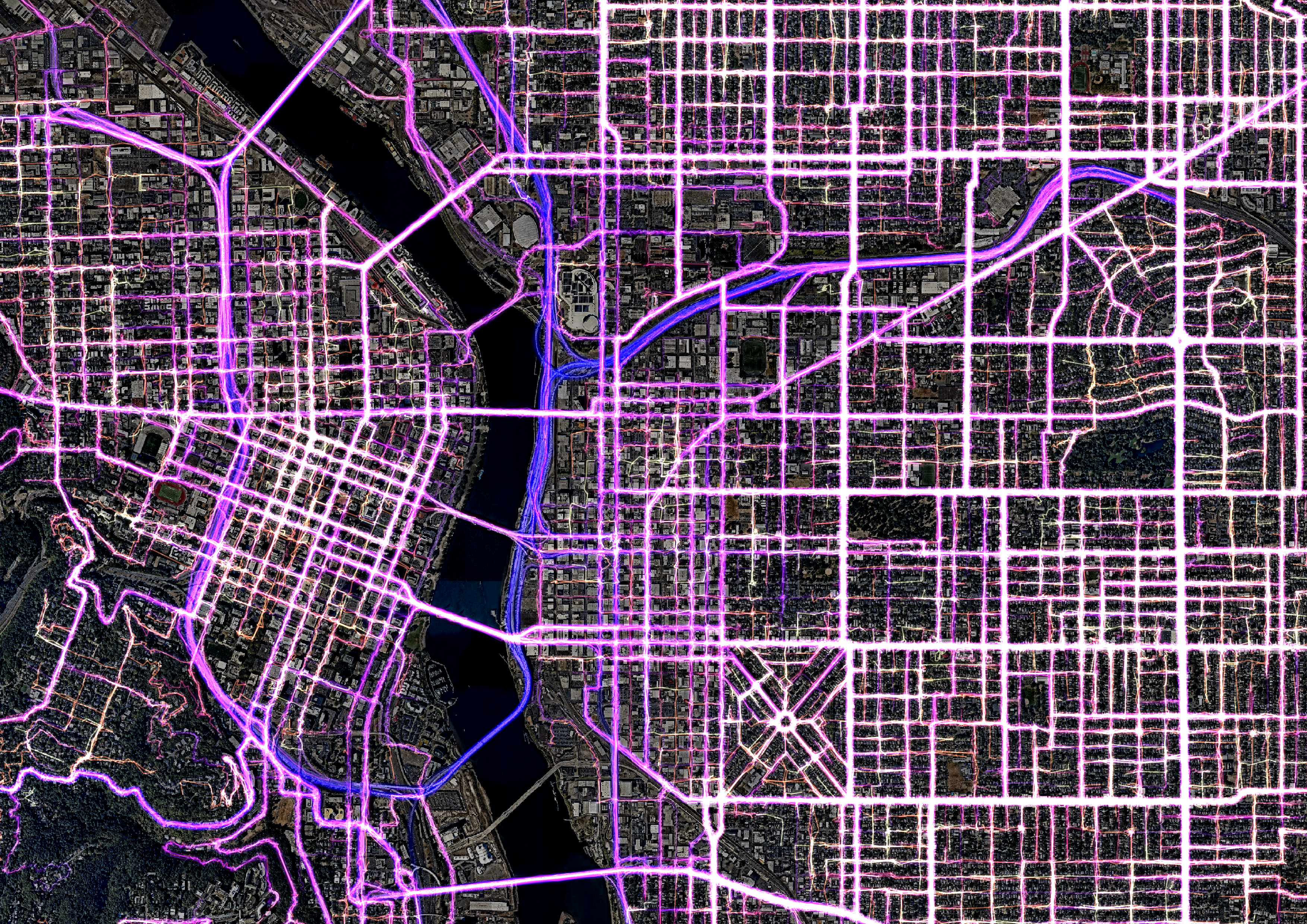
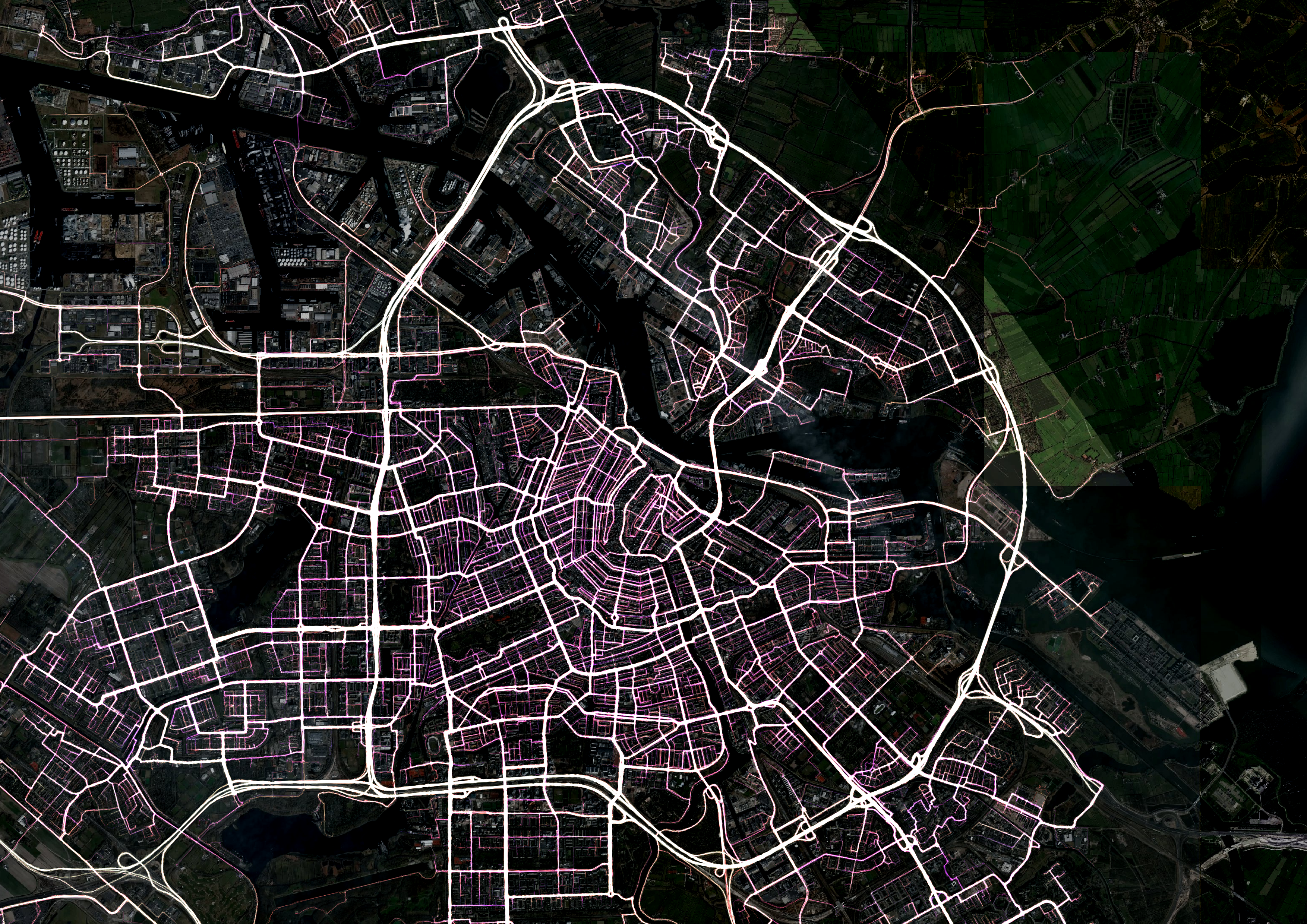
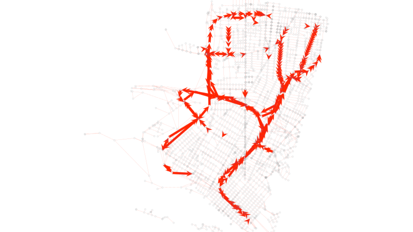
The system backing the tool is a multi-agent simulation that aims to model driver and rider behavior for pickups and dropoffs. The model is multi-modal with default configurations provided for cars, bikes, and scooters. Vehicles move through the simulated world, generating telemetry as new riders are sought, picked up, and dropped off. The origins and destinations are selected based on density of infrastructure as mapped in OpenStreetMap, and paths are synthesized based on shortest paths in the road network for the selected mode of travel. GPS frequency and horizontal accuracy is also simulated when reporting locations, creating physically realistic data, which is important to account for when working with real location telemetry. Noise is introduced at all phases of the model to produce realistic results, but the randomness can be tied to a fixed seed, enabling reproducibility with deterministic output.
Note: Unlike some synthesized data derived from raw telemetry, trip-simulator does not aim to produce data used for behavioral analysis. The lack of telemetry input data allows unlimited data to be generated anywhere in the world, and is useful for development of code that will be used with real data.
Getting Started
trip-simulator is open source and is capable of generating simulated data in any city in the world using open data. If you would like to suggest a feature, need help getting started, or have questions about the model, let us know on Github. If you are a city setting up a micromobility program, send us an email at info@sharedstreets.io, and we can simulate data for your city to start testing the Mobility Metrics tool.


Get Involved
Do you work for a city or government agency? A private company? Or are you an independent researcher or developer? Learn how to start using the SharedStreets Toolkit.
Get Started